
- Western Australia
- /
- Kununoppin
Kununoppin Postcode, Western Australia, Australia
Kununoppin, WA Postcode
Select a postal code to find the details:
Kununoppin, WA Information
Kununoppin
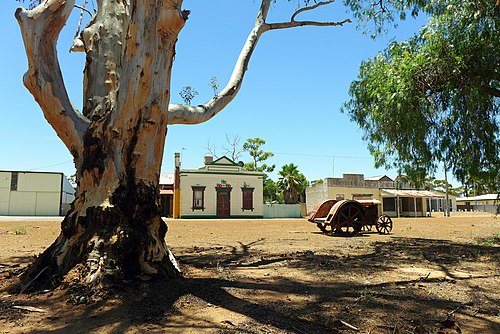
Kununoppin is a small town in the Wheatbelt region of Western Australia. The town is located on the Nungarin–Wyalkatchem Road and in the Shire of Trayning local government area, 257 kilometres (160 mi) north east of the state capital, Perth, Western Australia. At the 2006 census, Kununoppin had a po...Read More
Kununoppin, WA Google Map
Related Areas